Arrondissement Châteaudun
| Arrondissement Châteaudun | |
|---|---|
| Geografie | |
| Hlavní město | Châteaudun |
| Souřadnice | 48°4′ s. š., 1°19′ v. d. |
| Rozloha | 1 439 km² |
| Geodata (OSM) | OSM, WMF |
| Obyvatelstvo | |
| Počet obyvatel | 59 523 (2009) |
| Hustota zalidnění | 41,4 obyv./km² |
| Správa regionu | |
| Stát |
|
| Region | Centre-Val de Loire |
| Departement | Eure-et-Loir |
| Druh celku | Arrondissement |
| Podřízené celky |
Kantony: 5
Obce: 80 |
| Některá data mohou pocházet z datové položky. | |
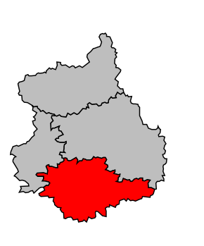
Arrondissement Châteaudun (fr. Arrondissement de Châteaudun) je správní územní jednotka ležící v departementu Eure-et-Loir a regionu Centre-Val de Loire ve Francii. Člení se dále na pět kantonů a 80 obcí.
